Immaggine:Namibia location map.svg

Dimensción de quest'anteprìmma PNG pe sto file chi SVG: 623 × 600 pixel. Âtre resoluçioìn: 249 × 240 pixel | 498 × 480 pixel | 797 × 768 pixel | 1 063 × 1 024 pixel | 2 127 × 2 048 pixel | 1 300 × 1 252 pixel.
File òriginâle (file into formâto SVG, dimenscioìn nominâli 1 300 × 1 252 pixel, dimenscioìn do file: 196 KB)
Detàggi
| Descriçión |
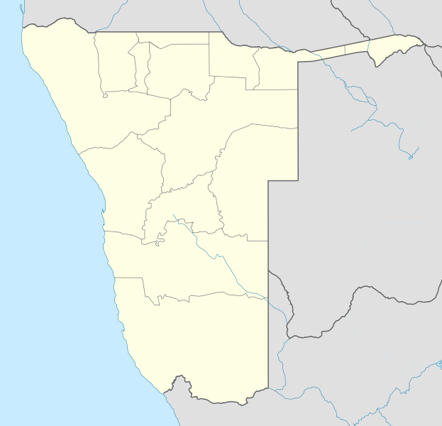
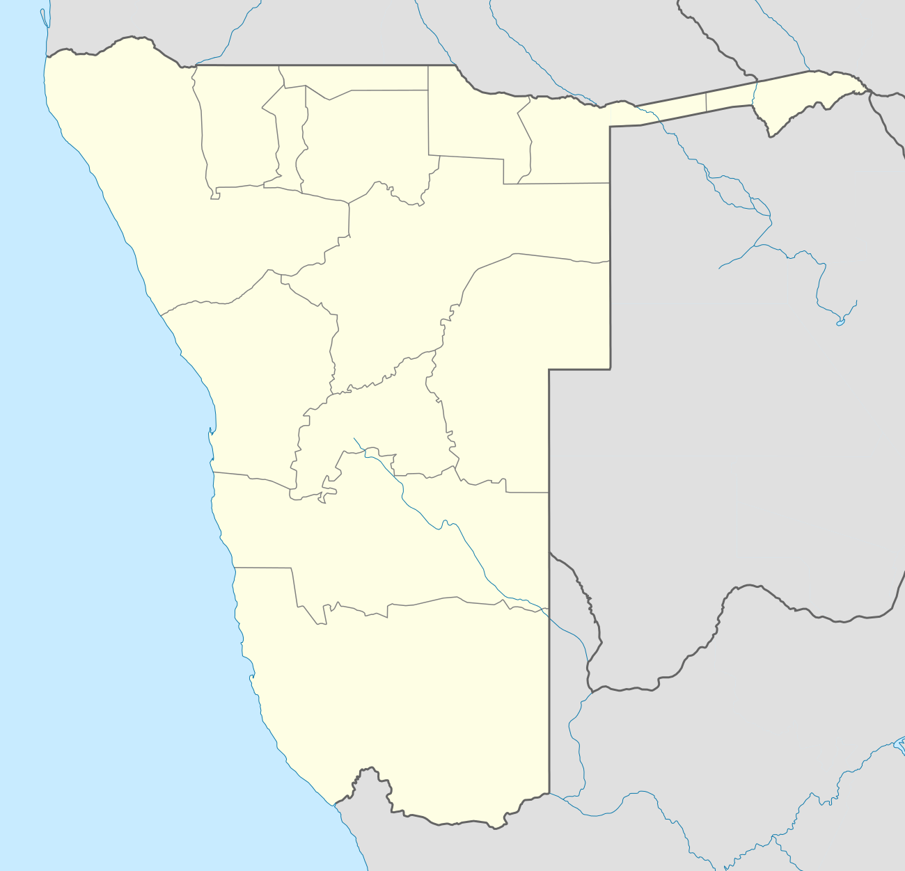
Deutsch: Location map of Namibia
Equirectangular projection. Strechted by 108.0%. Geographic limits of the map:
|
| Dæta | |
| Vivàgna | Òpera pròpia |
| Aotô | Uwe Dedering |
| Atre verscioin |
|

Licénsa
Uwe Dedering di Wikipedia in tedesco, detentô/a di driti d'aotô de st'œuvia, o/a deciæa de pubricâla sotta-e seguente lisensie:

|
O l'é permìsso copiâ, distriboî e/ò modificâ 'sto papê chi in bâze a-i tèrmini da GNU Free Documentation License, Versción 1.2 ò sucesîva, publicâ da-a Free Software Foundation; sénsa de seçioìn no modificàbili, sénsa tèsto de covertìnn-a e sénsa tèsto de quàrta de covertìnn-a. Ina còpia da licénsa a l'é inclûza inta seçión intitolâ Tèsto da GNU Free Documentation License. |
Quésto file o l'é rilasciòu sott'a-i tèrmini da licénsa Creative Commons Atribuçión-Condivìddi a-o mæximo mòddo 3.0 Unported
Atribuçión: Uwe Dedering di Wikipedia in tedesco
- Ti t'ê lìbero:
- de condivìdde – de copiâ, distriboî e trasmétte 'st'òpera chi
- de modificâ – de adatâ l'òpera
- A-e condiçioìn chi de sótta:
- atribuçión – Ti ti dêvi atriboî a paternitæ de l'òpera, indicâ o link a-a licénsa, e indicâ se són stæti fæti di cangiaménti ascì. Ti ti pêu fâ coscì inte 'n mòddo raxonévole e de mòddo da no sugerî che quélli ch'à dæto a licénsa sostêgnan ti ò a manêa inta quæ ti t'adêuvi l'òpera.
- condivìddi a-o mæximo mòddo – Se ti càngi, trasfórmi ò svilùppi o materiâle ti dêvi distriboî i tò contribûti segóndo 'na licénsa pægia ò conpatìbile a l'òriginâle.
Questo file è disponibile in base alla licenza Creative Commons Attribuzione-Condividi allo stesso modo 3.0 Germania.
Atribuçión: Uwe Dedering di Wikipedia in tedesco
- Ti t'ê lìbero:
- de condivìdde – de copiâ, distriboî e trasmétte 'st'òpera chi
- de modificâ – de adatâ l'òpera
- A-e condiçioìn chi de sótta:
- atribuçión – Ti ti dêvi atriboî a paternitæ de l'òpera, indicâ o link a-a licénsa, e indicâ se són stæti fæti di cangiaménti ascì. Ti ti pêu fâ coscì inte 'n mòddo raxonévole e de mòddo da no sugerî che quélli ch'à dæto a licénsa sostêgnan ti ò a manêa inta quæ ti t'adêuvi l'òpera.
- condivìddi a-o mæximo mòddo – Se ti càngi, trasfórmi ò svilùppi o materiâle ti dêvi distriboî i tò contribûti segóndo 'na licénsa pægia ò conpatìbile a l'òriginâle.

Ti ti pêu çèrne a licénsa che ti ti vêu.
Registro do caregamento originâ
Transferred from de.wikipedia to Commons by Uwe Dedering.
The original description page was here. All following user names refer to de.wikipedia.
- 2010-02-16 11:11 Uwe Dedering 1300×1252× (303033 bytes) {{Information |Beschreibung = Location map of Namibia Equirectangular projection. Strechted by 108.0%. Geographic limits of the map: * N: -16.0° N * S: -29.0° N * W: 11.0° E * E: 25.0° E Made with Natural Earth. Free vector and raster map data
Cronologîa do file
Sciàcca in sce 'n grùppo dæta/ôa pe védde comm'o l'êa o file into moménto indicòu.
| Dæta/Ôa | Miniatûa | Dimenscioìn | Uténte | Coménti | |
|---|---|---|---|---|---|
| prezénte | 20:57, 12 òtô 2013 | | 1 300 × 1 252 (196 KB) | NordNordWest | upd |
| 23:50, 16 fre 2010 |  | 1 300 × 1 252 (296 KB) | Uwe Dedering | {{Information |Description={{de|Location map of Namibia Equirectangular projection. Strechted by 108.0%. Geographic limits of the map: * N: -16.4° N * S: -29.6° N * W: 11.0° E * E: 25.8° E Made with Natural Earth. Free vector and raster map data @ nat |
Utilìzzo do file
A pàgina chi de sótta a contêgne di ligàmmi a sto file chi:
Utilìzzo globâle do file
Quésto file o l'é dêuviou da 'ste âtre wiki ascì:
- Dêuviòu inte pàgine de af.wikipedia.org chi de sótta:
- Walvisbaai
- Oranjemund
- Karasburg
- Omaruru
- Karibib
- Usakos
- Otjiwarongo
- Keetmanshoop
- Olifantsrivier
- Mariental
- Maltahöhe
- Hentiesbaai
- Langstrand
- Grootfontein
- Vaalgras
- Rehoboth
- Rundu
- Gobabis
- Warmbad, Namibië
- Tsumeb
- Bethanie
- Otjimbingwe
- Seeheim
- Sjabloon:Liggingkaart Namibië
- Fransfontein
- Omuthiya
- Luhonono
- Namibwoestyn
- Noordoewer
- Arandis
- Aranos
- Kalkfeld
- Outjo
- Otavi
- Witvlei
- Oshakati
- Brukkaros
- Aus
- Asab
- Okahandja
- Suid-Afrikaanse Lugdiens-vlug 228
- Ramansdrift
- Hosea Kutako Internasionale Lughawe
- Windhoek Eros-lughawe
- Walvisbaai-lughawe
- Grootfonteinlughawe
- Katima Mulilo-lughawe
- Ondangwa
- Katima Mulilo
- Gochas
Véddi l'ûzo globâle de quésto file.