Immaggine:Map of Venezuela Demis.png

Dimenscioìn de st'anteprìmma chi: 637 × 599 pixel. Âtre resoluçioìn: 255 × 240 pixel | 510 × 480 pixel | 816 × 768 pixel | 1 031 × 970 pixel.
File òriginâle (1 031 × 970 pixel, dimensción do file: 324 KB, tîpo MIME: image/png)
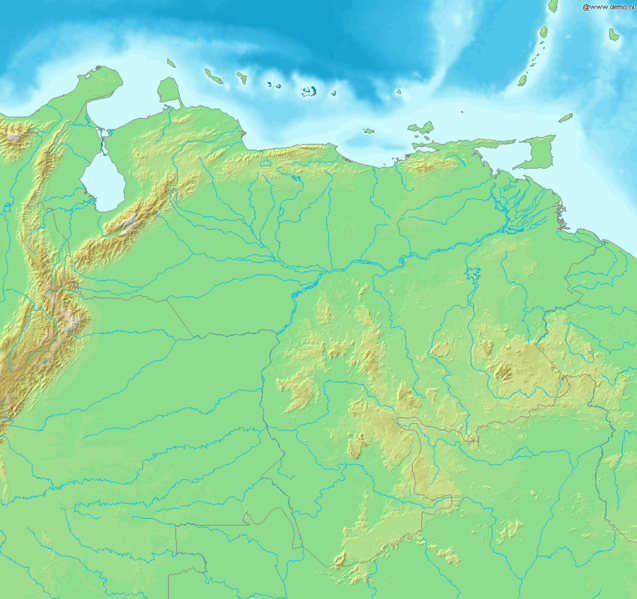
Map of Venezuela
Bounding box West -74°, South 0°, East -59°, North 14°. Center at 7°00′00″N 66°30′00″W / 7.00000°N 66.50000°W.
This image is in the public domain because it came from the site https://www.demis.nl/products/web-map-server/examples/ and was released by the copyright holder. Permission is granted to copy, distribute and/or modify this map since it is based on free of copyright images from: www.demis.nl. See also approval email on de.wp and its clarification.
|
| This work has been released into the public domain by its copyright holder, www.demis.nl. This applies worldwide. Gh'è di paixi che questo poriæ non ese legalmente poscibbile; into caxo: www.demis.nl o/a garantisce a chissessæ o drito de dœuviâ quest'œuvia pe quæssessæ propoxito, sensa arcun-a condission, fæti sarvi i obrighi de lezze.
|
derivative works
Derivative works of this file: Map of Venezuela Demis Shaded.png
Cronologîa do file
Sciàcca in sce 'n grùppo dæta/ôa pe védde comm'o l'êa o file into moménto indicòu.
| Dæta/Ôa | Miniatûa | Dimenscioìn | Uténte | Coménti | |
|---|---|---|---|---|---|
| prezénte | 22:36, 20 dex 2006 | | 1 031 × 970 (324 KB) | Mats Halldin~commonswiki | Map of Venezuela Bounding box West -74°, South 0°, East -59°, North 14°. Center at {{coor d|7.00000|N|66.50000|W|scale:8400000}}. {{demis-pd}} category:maps of Venezuela |
Utilìzzo do file
Nisciùnn-a pàgina a contêgne sto file chi.
Utilìzzo globâle do file
Quésto file o l'é dêuviou da 'ste âtre wiki ascì:
- Dêuviòu inte pàgine de es.wikipedia.org chi de sótta:
- Dêuviòu inte pàgine de la.wikipedia.org chi de sótta:
- Dêuviòu inte pàgine de pl.wikipedia.org chi de sótta:
- Dêuviòu inte pàgine de uk.wikipedia.org chi de sótta: